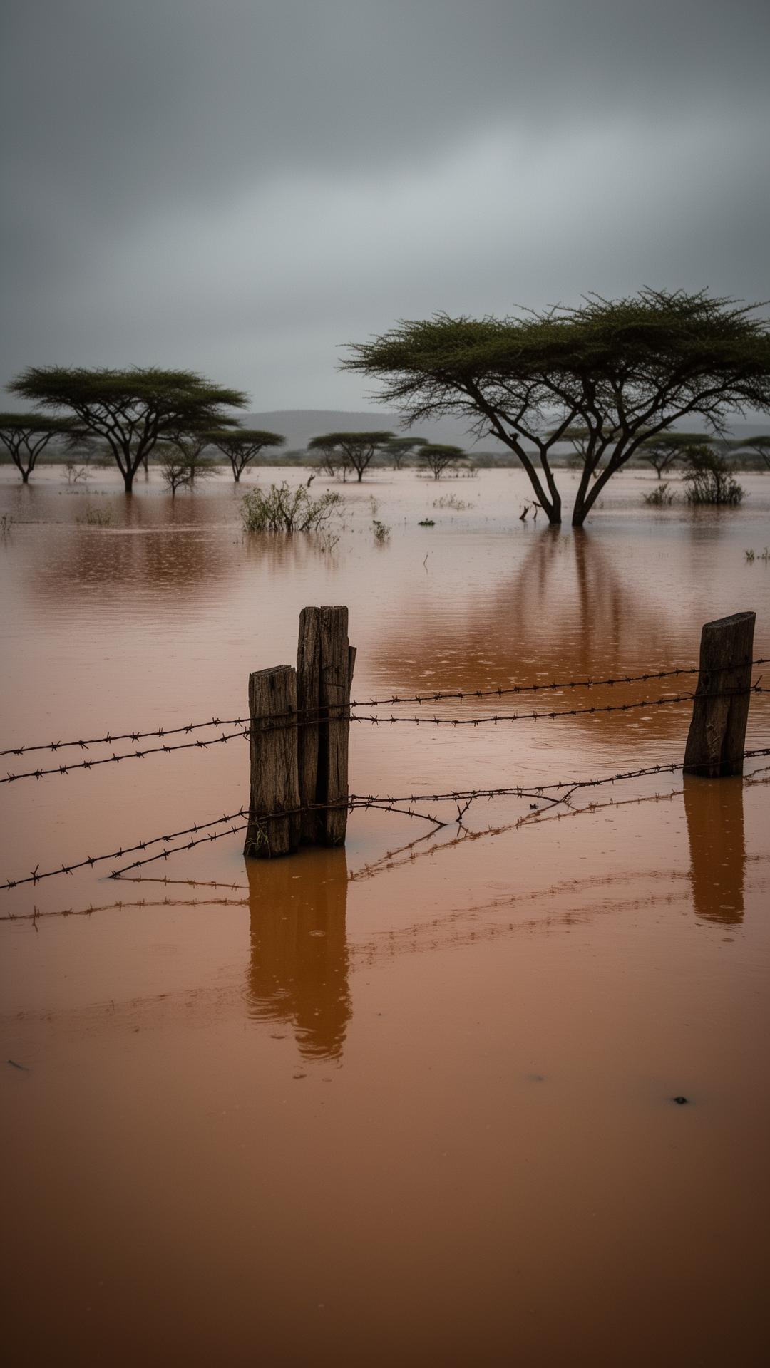

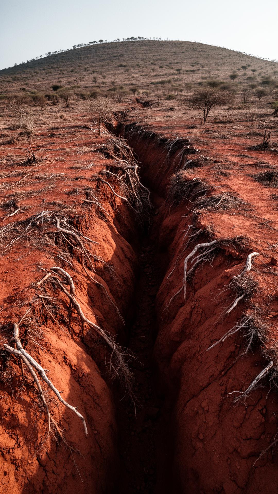

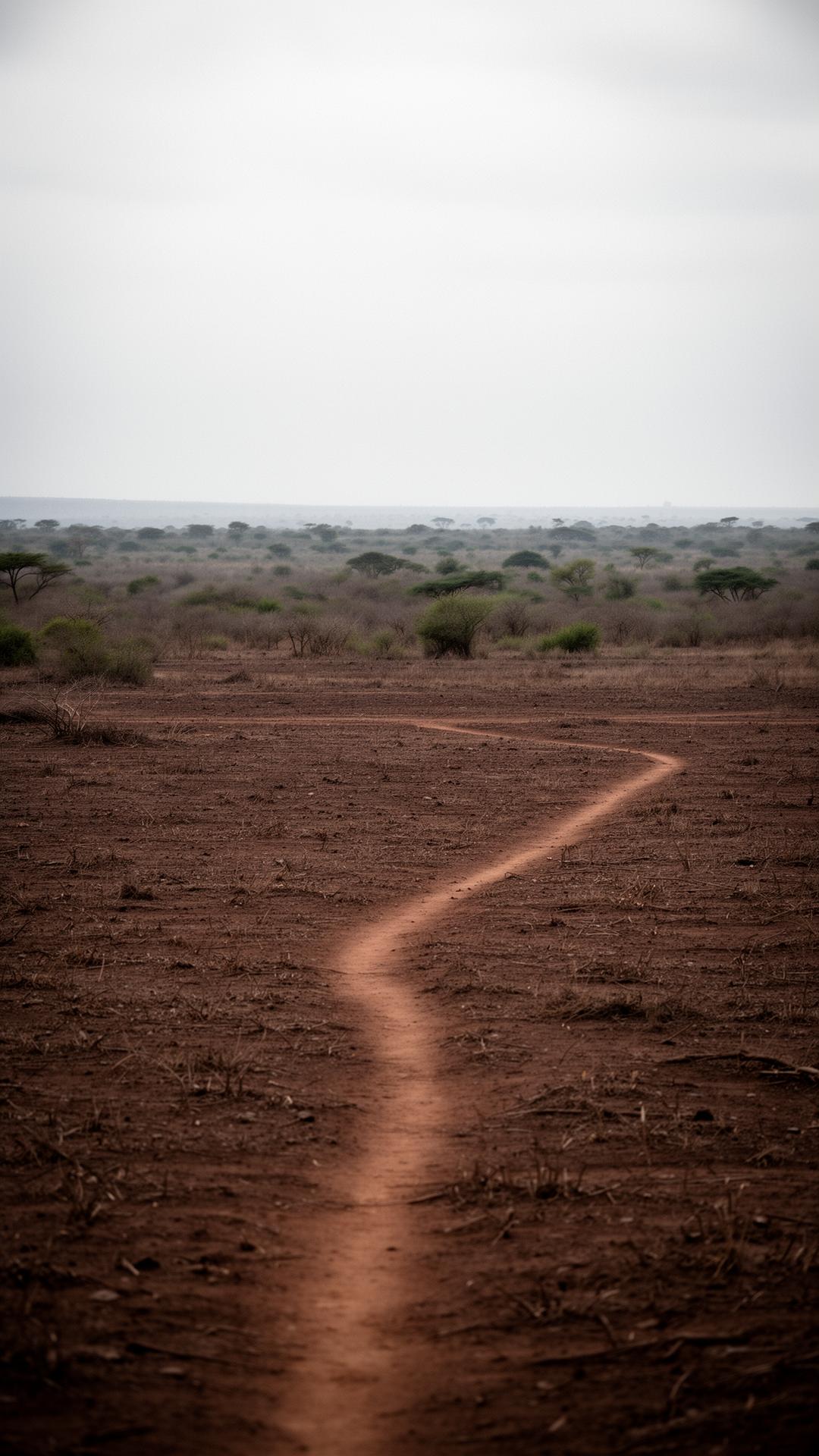
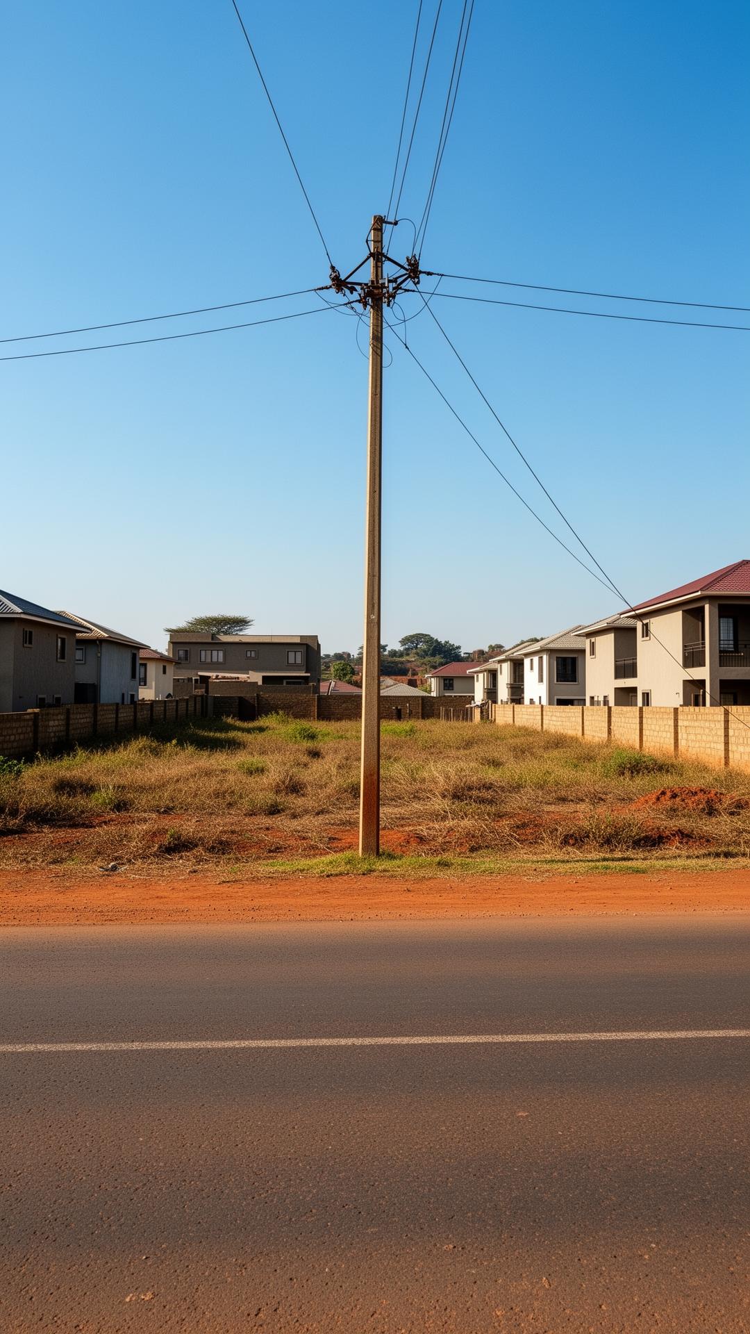
One plot floods. The other cracks. Which one is yours?
Know your landbefore you buy it.
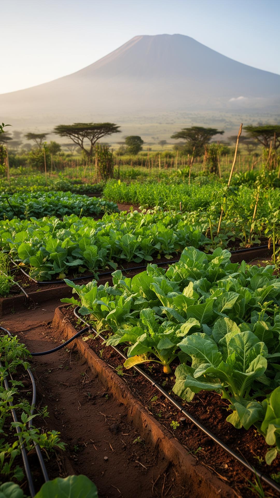
Drop a pin or enter coordinates anywhere in Kenya. Get an instant report on flood risk, soil, build cost, infrastructure and value trends.
Or try a sample: view a sample report →
How Landzaya works
A free professional-grade survey, on demand.
Enter a location
Type a place name, paste GPS coordinates, or drop a pin on the map of Kenya.
We crunch the data
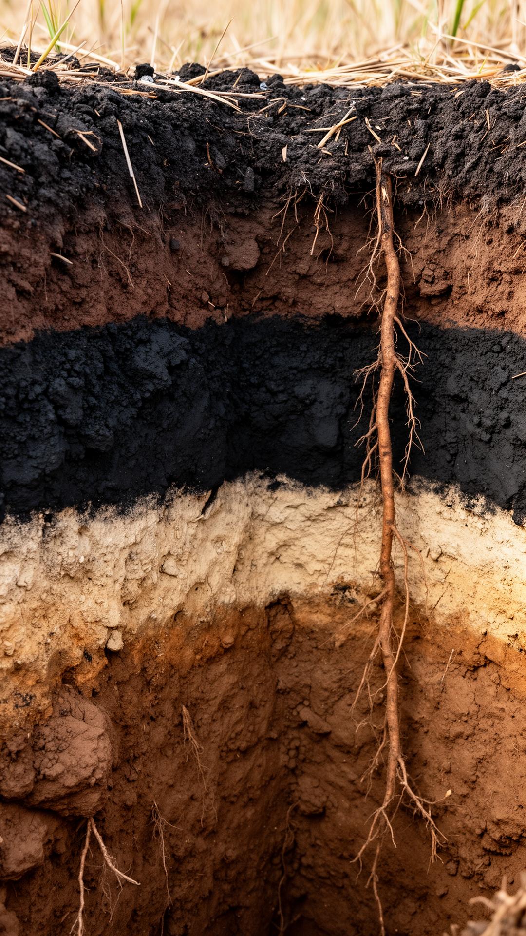
Soil, flood risk, infrastructure, zoning and historic land values for that exact spot.
Get your report
A full Land Intelligence Report — visual, transparent, shareable, downloadable.
Sample report
See what a Land Intelligence Report looks like.
LandScore at a glance, flood overlays, soil cross-section, infrastructure radar, and value projections — all in one stunning page.
View sample reportStop buying land blind.
Landzaya turns any coordinates in Kenya into a full intelligence report. Free, instant, and built to protect your money.